Script for Radiometric Calibration of ALS Strips
Script for Radiometric Calibration of ALS Strips
Introduction
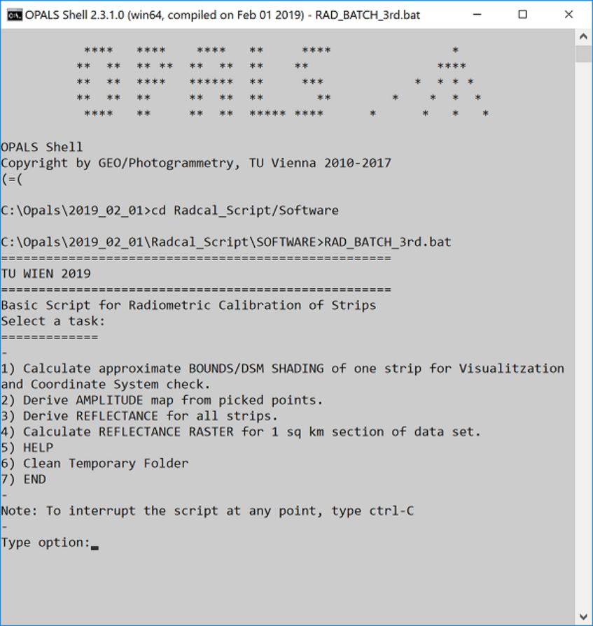
On this page, you can download the script for radiometric calibration of ALS strips developed at the TU Wien Department of Geodesey and Geoinformation, Research Unit Photogrammetry for the Prospecting Boundaries project. It is designed to demonstrate relative calibration of reflectance data using a series of strip-adjusted ALS strips. The script itself is a basic interface for the OPALS software environment, a modular software system designed for various ALS data processing tasks. Test data have been provided with the script, feel free to use this script with your own data or to modify it as you see fit.
Prerequisites
This script is designed for use by people who are not necessarily experts, but who already have some knowledge of geospatial/ALS data processing. A basic knowledge of how to navigate in a command-line environment will be helpful. A basic to intermediate level of GIS knowledge (coordinate system selection, creation of point and polygon shapefiles, generation of raster grids from point data) will be necessary, particularly if you would like to apply this script to your own data.
This script is built around modules in the OPALS software system (https://opals.geo.tuwien.ac.at/html/stable/index.html) . To run this script, you must first install OPALS on your computer. If you do not already have a recent version of OPALS installed, please register and download the most recent build at: https://opals.geo.tuwien.ac.at/html/stable/php_download_overview.html . Users who do not have a license for processing data in OPALS may use the included limited license key file that unlocks the modules necessary for this script (opals.key). Please see the user guide for further instructions regarding installation,licensing and use of the script.
The provided license key for opals is for scientific and academic use only. For enduring use in an commercial or governmental environment a license has to be obtained. You can find the OPALS License policy under opals.geo.tuwien.ac.at/html/stable/usr_licensing.html.
We ask that you reference the following papers when using this material:
1. Sevara, C., Wieser, M, Doneus, M., and Pfeifer, N. 2019. Relative Radiometric Calibration of Airborne LiDAR Data for Archaeological Applications. Remote Sensing 11(8), 945; doi.org/10.3390/rs11080945
2. N. Pfeifer, G. Mandlburger, J. Otepka, W. Karel. 2014. OPALS - A framework for Airborne Laser Scanning data analysis. Computers, Environment and Urban Systems, 45, 125 - 136. doi.org/10.1016/j.compenvurbsys.2013.11.002
Download the Script
- Radiometric Calibration Script and Test Data - A self-extracting file containing the script, software components and test/example data.
- OPALS License Key - A limited license for the necessary modules of the OPALS software, for users who do not have an OPALS license.
- User Guide - Instructions for how to install and use the script.
Metadata for Test Data*
| Case Study Area | Mazara del Vallo |
| Date of data acquisition | 21 February 2016 |
| Purpose of scan | Archaeology |
| Laser Scanner | Riegl LMS-Q680i Full Waveform |
| Unfiltered point density (per sq. m) | 16 |
| Strip Overlap | 20% |
| Scan Angle | 60° |
| Flying Height (AGL) | 511 m |
| Aircraft Speed (TAS) | 110 knots |
| Laser Pulse Rate | 400 000 Hz |
| Measurement Rate | 266 000 Hz |
| Scan Lines per second | 169 |
| Laser Wavelength | 1550 nm (SWIR) |
* Please see reference 1 (above) for further information.
The Prospecting Boundaries project is funded by a grant from the Austrian Science Fund (Grant ID P-28410).