Airborne Laser Scanning
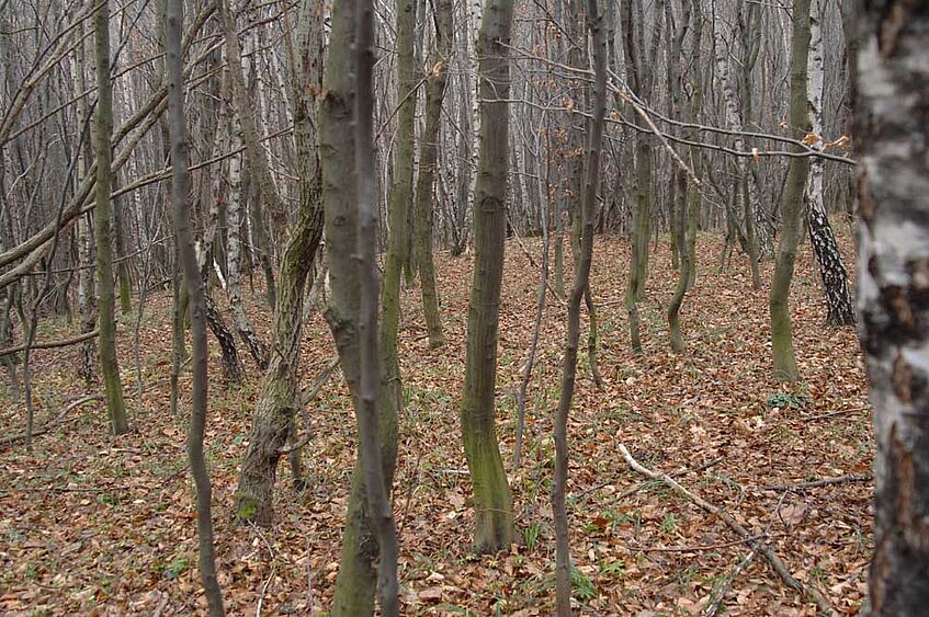
Round barrowsDespite the success of archaeological prospection in agriculturally dominated regions, the identification of sites within wooded areas remains problematic. At present there is no prospection method for the systematic discovery of buried sites in forests. Fortunately, micro and macro topographic earthwork features tend to be well preserved in forested areas, due to the stabilizing effect of vegetation on erosion processes and the lack of surficial disturbance through mechanical action (such as ploughing).
Large (macro topographic) earthworks can be recognised from the air (using optical aerial photography techniques) typically as shadow marks or snow marks, even through the tree canopy. They are also visible from the ground and can be mapped using traditional surveying techniques: however, a woodland environment can make survey difficult and features may be obscured by brushwood and scrub. Conversely, low (micro topographic) earthworks, especially when covered with dense vegetation, are practically invisible from the air and can be difficult to locate on the ground even by an experienced surveyor.
To be able to facilitate identification of low earthwork features, one would need a dense coverage of surface terrain points that are accurately located in the x, y and z dimension. These points are used to generate a Digital Terrain Model (DTM) that can be used for archaeological interpretation. Only a few years ago, the measurement of such a huge quantity of points would have been impossible for larger areas, but with the recent development of Airborne Laser scanning (ALS) there is now the means to produce dense, precise, and accurate terrain models even under forest canopy.