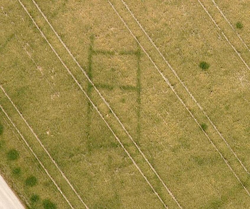
Aerial Archaeology
Our cultural heritage is not confined to the visible architectural remains. Most of the archaeological sites are still hidden in subsoil. Many of them are increasingly threatened with destruction. The main threat is erosion due to intensive agriculture, which is accelerated by large-scale consolidation of farmland. But also construction works, as for rail- and roadways and the exploitation of our mineral resources are constantly destroying archaeological sites. In that way, large amounts of our cultural heritage, which had survived thousands of years covered by soil, were irretrievably destroyed within a few decades.
The archaeologist has to know the exact location and extent of a site, to be able to protect it. Therefore, archaeologists are in need of fast and low cost methods, that are able to show the extents of a whole site and provide a detailed mapping of its features. These methods, in the first place aerial archaeology and geophysical prospection, are already available for a long time. In Austria, they were promoted by well-aimed research work.
This section deals with aerial archaeology. After some {introductory definitions}, you can go deeper into the subject reading a {brief history} of aerial archaeology and learning, {why and how} buried sites can show up on the surface.

