What is Aerial Archaeology?
Besides fieldwalking, aerial archaeology is the oldest method of archaeological prospection. Using direct observation from aircrafts or already existing aerial photographs, information on material remains of human culture and its palaeoenvironment is detected, documented and archaeologically interpreted.
It is common opinion, that an aerial archaeologist is sitting in an aeroplane, trying to discover archaeological sites and to take a few nice photographs of them.
This is (somehow) true. But aerial archaeology is more than just taking photographs, although this was and sometimes is still considered to be its main subject. In fact, it goes far beyond the mere acquisition of data. It especially involves archaeological photo interpretation, photo-rectification, GIS-based mapping and integration with other archaeological information.
You even don´t need photographs to perform aerial archaeology: you can use also satellite images, thermal images or airborne radar images. To perform aerial archaeology means above all, to make archaeological use of this kind of remotely sensed information.
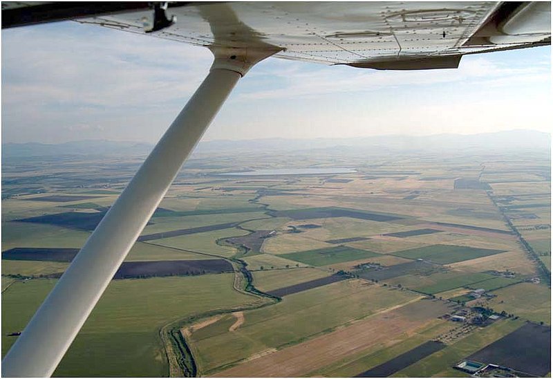
The terms "aerial" or "remotely sensed information" already indicate, how aerial archaeology works: it uses the distant view. Archaeological sites show up on the ground surface, depending on their state of preservation, by light-shadow-contrasts (shadow marks), tonal differences in the soil (soil marks) or differences in height and color of the cultivated cereal (crop marks). In that way, settlements, graveyards, fortifications etc. produce specific structures, that can be identified easier from a high viewpoint.
In principle, you could see an archaeological feature also while standing on it, but like a cat on the carpet, you would not be able to realize any pattern, that could give you a bit more information about WHAT this site could be like. If You choose a more distant viewpoint (even if it´s only a ladder or a building), the structures become clearer to you and the pattern becomes understandable.
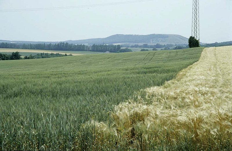
Cropmarks viewed from the ground
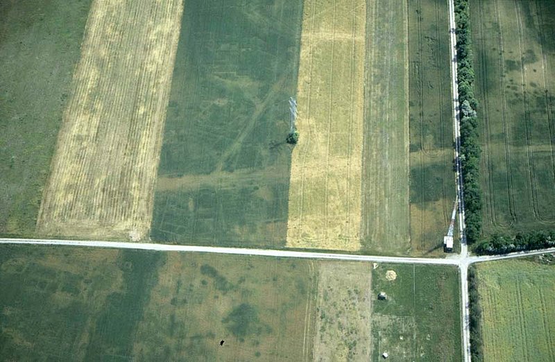
The same site photographed from the air