Oblique aerial photographs
Oblique aerial photography is usually done by an aerial archaeologist and/or an archaeologically trained pilot. During a reconnaissance flight, the ground is searched for visibility marks showing traces of archaeological structures. Once detected, the marks are documented using (in our case) digital cameras.
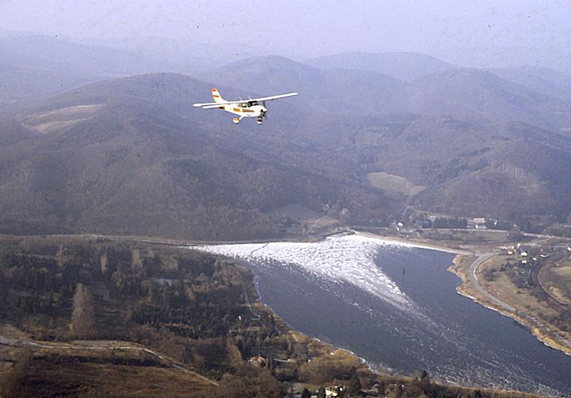
High wing aircrafts are hired for oblique aerial photography
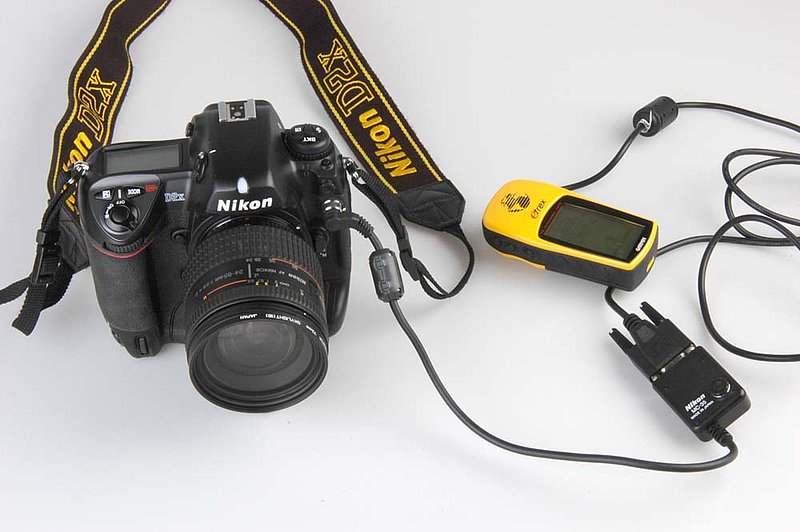
Digital camera with a GPS attached
The main advantage of oblique aerial photographs is that the photographs can be taken from the most advantageous position, in order to improve interpretation. They are easy to understand.
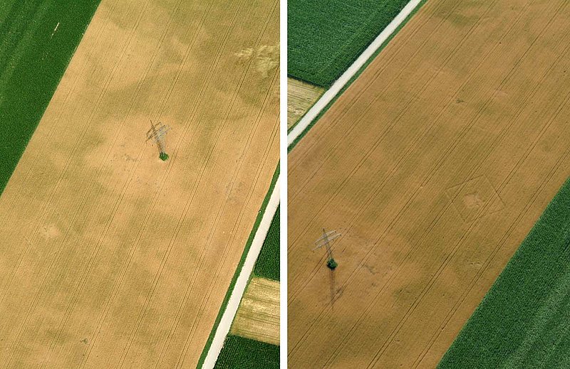
Left: negative cropmark photographed with the sun in the back. Right: the same site photographed against the sun
Oblique aerial photography has, however, some drawbacks. The main criticism is related to the fact that an oblique aerial photograph is the result of an interpretation. Before the photograph was taken, several decisions had to be made: the identification of visibility marks, their evaluation as being archaeologically relevant, hight, direction, camera settings etc. for taking the photograph. The results, i.e. the percentage of visible sites documented will therefore depend largely on the experience and attentiveness of the archaeologist. Oblique aerial reconnaissance can therefore be regarded as a sampling procedure.
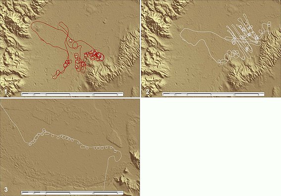
Examples of GPS-recorded flightpaths of different kinds of reconnaissance: (1) unsystematic sampling, (2) systematic sampling, (3) following a line of construction.